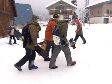

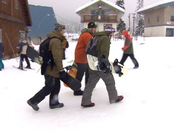
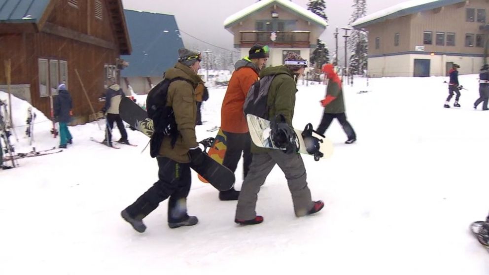
Parts of the western U.S. are turning into a winter wonderland.
A storm system is currently bringing some rain, and heavy mountain snow to parts of the Cascades mountain range and the northern Rockies. The chance for snow will persist for much of the day there.
As the storm moves east, a more organized swath of snow will develop in parts of Wyoming, with heavy snow and gusting winds impacting the region on Sunday night and Monday. There is a chance of 6 to 12 inches of snow in the highest elevations; locally 1 to 2 feet of snow in the rural areas of western Wyoming.
Police in Lynnwood, Washington, tweeted a photo of an overturned car, urging residents late Saturday afternoon, “bad weather please drive carefully.”
The central U.S. will enjoy a mild Sunday — but don’t get too used to it. The storm system moving out of the Rockies will bring drastically colder temperatures and at least some snow to the Northern Plains from Wyoming to Wisconsin. Ahead of the cold air, meteorologists will be monitoring a line of thunderstorms and heavy rain that will stretch across much of the central U.S. on late Monday into Tuesday.
On Tuesday morning, temperatures will feel like they’re in the single digits in parts of the Northern Plains: Minneapolis, for example, will feel nearly 50 degrees colder on Tuesday morning than it will feel Sunday afternoon. Four to 6 inches of snow is expected in eastern South Dakota and northwest Minnesota. Locally, 6 to 12 inches is possible in parts of the region. Limited visibility, blowing winds and snow covered roads are likely across the region on Monday and Tuesday. There remains some uncertainty, though, as to how close the heaviest snow gets to Minneapolis and Sioux Falls.
East Coasters, be prepared to bundle up by weeks-end: This cold blast will arrive on East Coast by Thursday. Colder air moving over the Great Lake is almost certainly going to cause Lake Effect snow to develop later this week.
Another system will develop in the central and Midwest U.S. by the end of this week. Given the drastically colder environment, this system will have the potential to bring impact weather as it moves from the Midwest to the Northeast. At this point, there is still significant uncertainty on the magnitude and precise location of notable winter weather impacts. Behind this second system, a stronger punch of cold air will surge into the U.S. by the end of the week. This late week cold blast appears to have the potential to bring frigid air all the way to the southern states.
The pattern change will not just affect the central and eastern parts of the country. It will affect parts of the West, as well. Strong Santa Ana winds will develop Sunday night through Thursday in Southern California. This could potentially be the strongest and longest Santa Ana wind event so far this season in Southern California. Winds will gust between 40 to 60 mph. Locally, expect higher gusts in the hillsides and mountains.
A word of caution: These strong winds, combined with low relative humidity will cause extreme fire danger in the region Sunday night and Monday. There is potential for very rapid fire growth.
And after weeks of storms hitting the Northwest, the entire region is looking fairly for nearly the entire week, since there is no precipitation forecasted for much of the region.

