
When the worst wildfire on record in California history ravaged Southern California last year, the Claffeys in Carpinteria were one of many forced to load their family car and evacuate their home.
On Monday, just as the family was settling back into their home, they were told to evacuate again.
This time it wasn’t because of the Thomas Fire’s flames fanned by the devastating Santa Ana gusts. It was heavy rains.
“If our house was flooded it would be devastating. Absolutely devastating,” Maureen Claffey told ABC News.
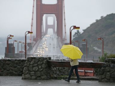
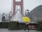
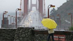
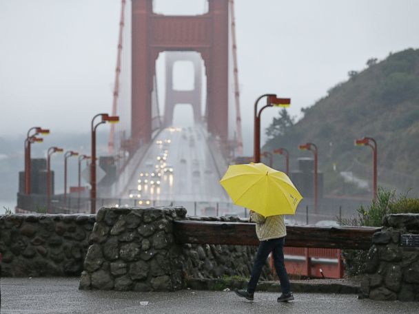
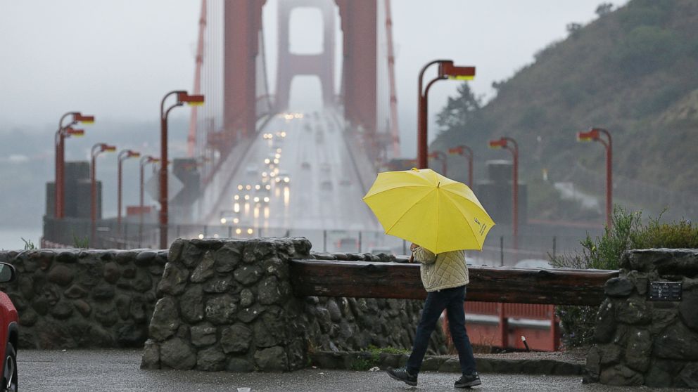
The record rains started coming down on Monday, soaking northern cities like San Francisco and Sacramento.
Because hundreds of thousands of acres were charred, the influx of water has nowhere to go.
The National Weather Service has warned that flash flooding, debris flow and mudslides are possible in the communities already devastated by the Thomas and La Tuna fires.
A cold front and a squall line with lightning is developing and moving into the Los Angeles area on Tuesday morning.
Later Tuesday the worst of the storm will move inland. The heavy rain will end in Los Angeles around dinner time or even before.
So far, rainfall totals Tuesday morning and early afternoon will be at least 2 to 4 inches in Ventura, Los Angeles and Santa Barbara counties.
Troubles have already snarled drivers attempting to commute on some major roads.
Traffic on the 101 Freeway around Ventura and Santa Barbara counties was stalling civilian vehicles, and apparently, some local California Highway Patrol units.
As a precautionary measure, the agency has stopped most traffic on the freeway going through Santa Barbara after excessive flooding and debris made some parts impassable.
Some of the stranded drivers caught up in the rising water levels were being plucked from their vehicles to safer, dryer ground by emergency personnel.
And in creeks and other waterways the treacherous floodwaters were moving at around 15 miles per hour.
In Montecito, one woman’s home was a muddy disaster, according to a social media post.
On higher elevations, snow will be measured in feet, as an additional 1 to 2 feet of snow is expected in the Sierra Nevada mountains.
The storm system moves into the Great Plains on Wednesday and Thursday with winter storm watches and warnings already issued from Colorado to Wisconsin.
Locally, 6 to 12 inches are possible and this could be the biggest snowstorm of the season for places like the Twin Cities.
South of the storm, mild air will bring a chance for a thunderstorm with lightning from Memphis to St. Louis.
Further east, a thawing has begun.
It’s about 20 to 30 degrees warmer from Chicago to New York City than it was this past weekend as temperatures rise.
By Thursday, Chicago and Cleveland will be approaching 50 degrees for the first time since the middle of December.
New York City and Boston will be in the 50s by Friday. These temperatures will be 15 to 20 degrees above normal.
ABC News’ M.L. Nestel contributed to this report