
Flood, snow, avalanche and fire alerts popped up Monday from Idaho to Colorado, as parts of the U.S. interior that were paralyzed by blizzards and floods last month braced for round two of an unusual weather phenomenon involving what’s known as a “bomb cyclone.” Welcome to springtime in the Rockies and parts of the Great Plains.
It’s not unusual for floods, snow and fire to co-exist in the Rockies thanks to powerful storms blowing through the mountains, melting snow swelling waterways and high winds sweeping across dry grasslands and trees that haven’t seen their first green shoots and leaves. What is unusual is a storm system that is moving in from the Pacific Ocean and forecast to intensify and form into a new inland bomb cyclone.
A bomb cyclone is a rapid drop in air pressure — at least 24 millibars in 24 hours — and often is over or near oceans or seas because it requires warm moist air smacking into cold dry air, along with volatile weather from the jet stream. The central and mountain parts of the country may get one of these every few winters, said Greg Carbin, forecast branch chief for the National Weather Service’s Weather Prediction Center in Maryland.
Trending News
But this would be the second such storm in less than a month. A March 13 storm caused massive flooding in the Midwest, a blizzard in Colorado and Wyoming, and produced winds between 96 mph and 110 mph.
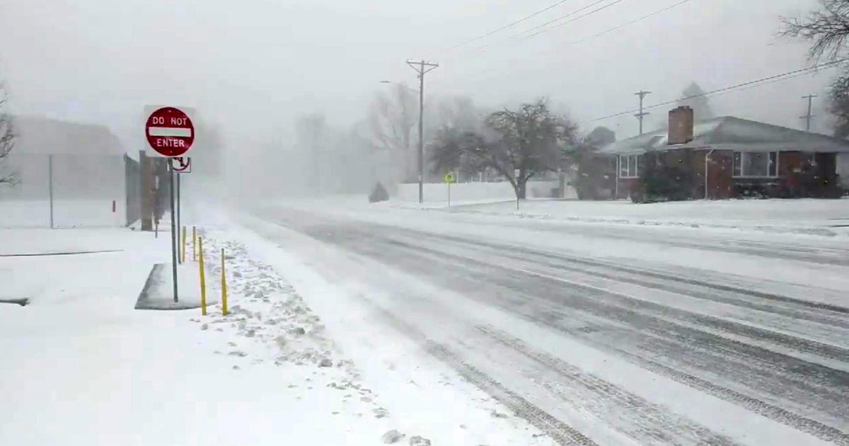
This week’s bomb cyclone is expected to be similar in intensity and in snowfall, meteorologists said. CBS News contributing meteorologist Jeff Berardelli said on CBSN that it will become a “monster storm” when it hits the Plains.
“We’re talking a blockbuster blizzard,” Berardelli said. He expected it to start hitting the northern Plains on Wednesday and then slowly move across the region for at least two days.
Heavy, wet snow will fall from the Nebraska panhandle through south central and southeastern South Dakota into western Minnesota. Wind speeds can reach 50 mph to 60 mph across Kansas.
“This blizzard will further exacerbate flooding in Nebraska with the added insult of heavy snowfall to eventually melt,” said Ryan Maue, a meteorologist at the private weathermodels.com. “This is more bad news for suffering farmers who are unable to flip the calendar on winter.”
But first, the storm is expected to cause flooding in Idaho and western Montana, and dump up to 2 feet of snow in the mountains of Montana and Wyoming as it moves in from the Pacific Ocean. Parts of Colorado that were under a fire warning Monday are expected to see snow and temperature drops of more than 40 degrees by Wednesday at the southern edge of the storm, meteorologists said.
The storm dumped rain on parts of Oregon Sunday and Monday as it moved inland, causing flooding that closed some schools in the central Willamette Valley and forced the release of water from dams. While it’s unusual to see two consecutive inland bomb cyclones, it’s difficult to pin the cause on climate change, Colorado state climatologist Russ Schumacher said Monday.
“I think it’s an interesting question to ask whether there’s some climate change fingerprint on this,” he said. “But it’s a complicated puzzle to piece together.”
That includes what is happening as the storm forms over the Pacific Ocean, what happens once it’s over land and what effect climate change may have on those variables. “I’m not sure we have the answer,” Schumacher said.
Typical conditions for the Rockies are what drove a wildfire Sunday on southeastern Montana’s Northern Cheyenne Indian Reservation, where a house fire sparked a blaze that quickly burned through 1,700 acres of dry grass and trees. It forced evacuations Sunday in Lame Deer, a town of about 2,000 people that is the seat of the tribal government, before fire crews were able to contain it.
Also normal are the fire warnings issued for eastern Colorado on Monday, a day after a wildfire near Colorado Springs forced the temporary evacuation of about 20 homes. Forecasters frequently issue red flag warnings for March and April on the eastern and southeastern Colorado plains as the jet stream moves southward and brings stronger weather systems and higher wind, said Jennifer Stark, meteorologist in charge for the National Weather Service in Pueblo, Colorado.
“This is the time of year when we get a roller coaster of weather,” Schumacher said. “Going from 80 degree temperatures one day to a snowstorm the next is not that out of the ordinary, especially in March and April, around here.”