
The Los Angeles Police Department is reportedly telling motorists to avoid using navigation apps when attempting to avoid the region’s wildfires. According to the Los Angeles Times, authorities fear that these programs will guide motorists “onto more open routes — in this case, streets in the neighborhoods that are on fire.”
However, when Roadshow reached the LAPD for comment on Thursday, they initially acknowledged that they were still investigating how to advise motorists on this issue. A subsequent conversation I had with officer Mike Lopez, LAPD public information officer, offered some clarification: “We’re not saying not to use your navigation, but [we advise] to use them with caution anywhere near the fires.” Lopez reiterated fears that some programs may lead motorists directly into danger’s path.
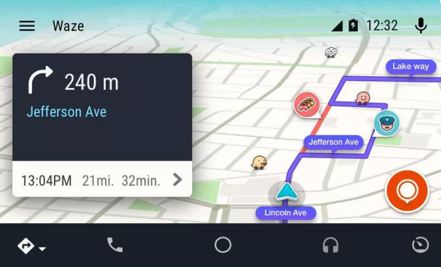
Some navigation apps, like Waze, provide the ability for users to call out road hazards including weather, heavy traffic, vehicles and objects in the road, or even request roadside assistance. Many, however, do not.
Lopez acknowledged that certain navigation apps may be smarter than others when it comes to dealing with emergency situations like the LA wildfires, but he urged caution when using all apps, and said that the LAPD would not endorse using a particular program over another in such instances.
LA authorities are urging motorists not to use navigation apps to avoid the region’s wildfires.
Waze
I also spoke with Sergeant Frank Preciado of the LAPD, and he noted that officers are strategically posted at the junction of key ingress and egress roads to prevent motorists from inadvertently driving into the path of the wildfires. Above all, local authorities are urging motorists to heed the instructions of police and fire officials, including when it comes to obeying roadblocks.
Apple, Google and Google’s Waze division did not immediately return a request for comment.
Southern California is being wracked by wildfires that are destroying homes, businesses and impacting travel. The new Skirball fire near Bel Air has reportedly grown to 475 acres alone, and triggered the 405 Freeway’s temporary closure. The fire is estimated to only be 5 percent contained, and stiff winds are expected to fan the flames today, making firefighters’ jobs more difficult.
Some auto industry watchers are looking at the LA fires and wondering aloud on social media if natural disasters like these could impact the future adoption of self-driving cars. Others are curious if technological steps are being taken to systematically enable local authorities to update mapping services in real-time with relevant information during emergencies.
In September, amidst an altogether different type of natural disaster, Google’s Waze Carpool app was turned on in states affected by Hurricane Harvey to enable residents to find ridesharing opportunities. The company also started a Facebook page to crowdsource information on road closures and hazards in the area at the time.
This article originally appeared on CNET Roadshow as “LA police urge caution when using nav apps to avoid wildfires”
© 2017 CBS Interactive Inc.. All Rights Reserved.