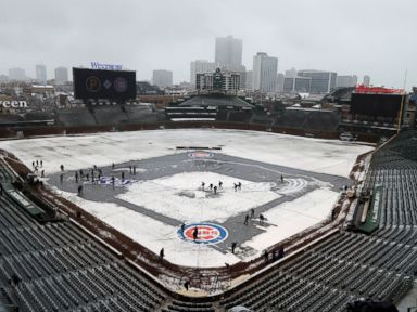



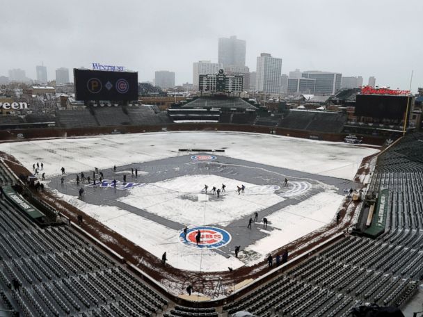
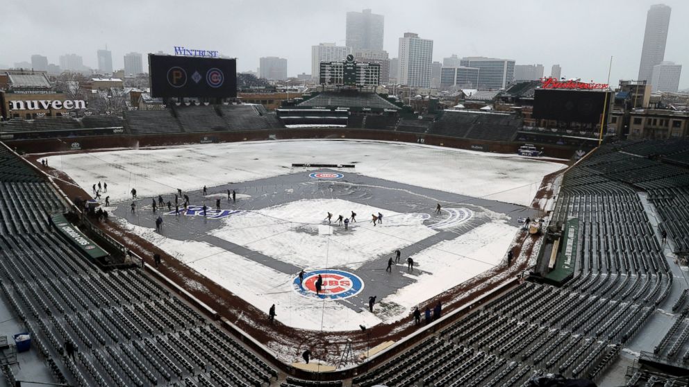

A fast-moving storm system that brought anywhere from 2 to 6 inches of April snow from Colorado to West Virginia is moving through the Northeast this morning and bringing a rain and snow mix from Pennsylvania to New York and New England.
The good news is warmer weather is in the not-too-distant future.
Mostly rain will fall in major cities along the I-95 corridor, but just inland — from the Poconos to upstate New York and into Litchfield, Connecticut, and the Berkshires — there could be some light snow accumulation.
The system will continue to slowly work its way through the Northeast during the afternoon and evening hours with maybe a little accumulation in higher elevations, but none in any major cities.
It’s still chilly Tuesday morning, with wind chills in the 20s and 30s from the Midwest into the Northeast. But this is the last really chilly morning for awhile in the eastern U.S.
Starting Wednesday a progressive warm up is on the way from the Midwest into the Northeast. Temperatures will warm into the 70s and even 80s for major cities like Chicago, New York City and Washington, D.C.
The peak of the warmup will be on Saturday for the Eastern US with temperatures approaching upper 70’s to near 80 deg from DC to Philadelphia to NYC and southern New England!!
You are not mistaken, those are forecast highs on Saturday in Washington, D.C., New York City and even usually chilly Boston, where it will be nearly 70 degrees.
Free America Network Articles
