


A nor’easter developing off the East Coast is strengthening Friday morning with flooding, heavy rain and inland snow expected over the next 24 hours.
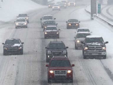
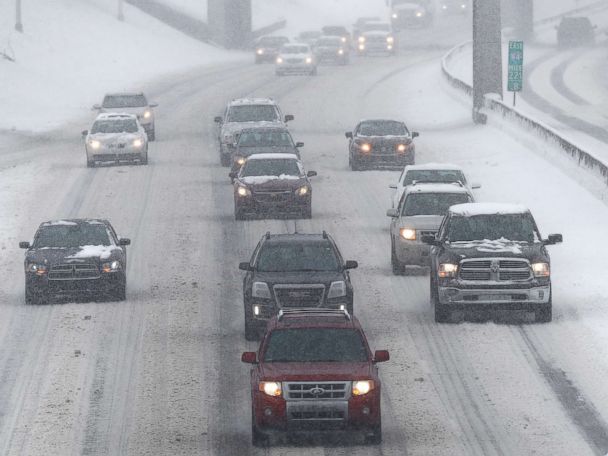
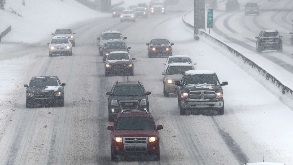
Already up to 12 inches of snow fell in western Pennsylvania where travel was impossible at times on I-90. The same storm system brought heavy snow to Detroit and eastern Michigan where 4 to 8 inches of snow has accumulated.
The federal government has shuttered all its offices in Washington, D.C. Friday ahead of the worst of the storm and schools are cancelled for all of Prince William County in Virginia, just south of the nation’s capital. There were over 150,000 customers without power in the D.C. area as of 4 a.m. on Friday. Maryland had over 30,000 customers without power early Friday morning.
As of 4 a.m. on Friday, there had already been about 1,500 flight cancellations, according to Flight Aware — three times as many as were cancelled all of Thursday. And that was only expected to get worse as the day progressed.
There are 17 states on the East Coast, from Georgia to Maine, on alert for damaging winds, flooding, heavy snow and coastal flooding. There is even a hurricane force wind warning for off-shore waters in southeastern New England.
“I can’t stress this enough: This is not a snowstorm, but it’s a heck of a storm and people need to take it seriously,” Massachusetts Gov. Charlie Baker said at a nighttime news conference on Thursday.
Like coastal Massachusetts, New Jersey is expecting flooding, especially at high tide, where Atlantic City Fire Chief Scott Evans said, “We’re preparing for major flooding. Let’s keep our fingers crossed it’s not as severe as they say.”
Snow and rain will continue throughout the morning and into the afternoon.
The winds will get stronger through the morning and afternoon, and could gust up to 40 to 60 mph in major cities like Washington, D.C., Philadelphia, New York City and Boston.
There is a chance that some of the snow could mix all the way down to the coast by later this afternoon from Philadelphia to New York City.
The storm should begin to move further off shore by Friday evening into Friday night with the precipitation ending this evening.
The heaviest snow will fall in western New York into northern Pennsylvania and into western Massachusetts, where some areas could see 1 to 2 feet. Locally higher amounts are possible in the Catskills.
An additional 2 to 4 inches of rain is expected in southern New England and Long Island, which will likely produce urban and highway flooding.
In the West, eight states from Washington to California are under winter and flood alerts due to a major storm moving through.
Already, 2 feet of snow has fallen in the Sierra Nevada Mountains with winds gusting over 100 mph. Over 2 inches of rain has fallen from Oregon to Northern California with reports of flooding in San Francisco Bay area.
This morning, a cold front is moving through Southern California, over the burn scar areas in Santa Barbara and Montecito, where up to 2 inches of rain is possible.
Rain, heavy at times, will continue in Southern California through Friday afternoon.
An additional 1 to 2 inches of rain is expected in Southern California and up to 3 inches of rain in Northern Cali and southern Oregon is expected.
Snowfall totals of 7 feet are expected in the Sierra Nevada Mountains and even up to a foot of snow is possible in the mountains around Los Angeles.
Free America Network Articles