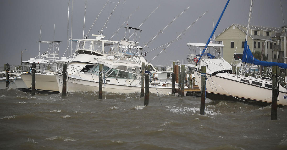
Gordon losing its punch but still dangerous
As of 4 a.m. CDT Wednesday, Gordon was some 20 miles northwest of Hattiesburg, Miss., moving northwest at 14 mph. Its maximum sustained winds were down to 40 mph.
The Miami-based National Hurricane Center discontinued all Gordon-related tropical storm and storm surge warnings and tropical storm watches.
Gordon was expected to diminish to a tropical depression later Wednesday morning.
Still, the Hurricane Center said, “Gordon is expected to produce total rain accumulations of 4 to 8 inches over the western Florida Panhandle, southwest Alabama, southern and central Mississippi, northeastern Louisiana, Arkansas, Missouri, southern Iowa and Illinois, with isolated maximum amounts of 12 inches through early Saturday. This rainfall will cause flash flooding across portions of these areas.”