
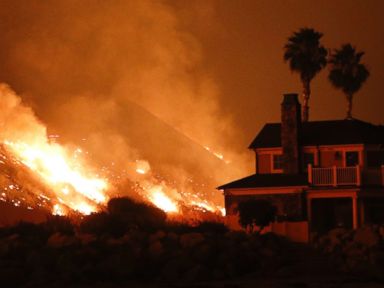

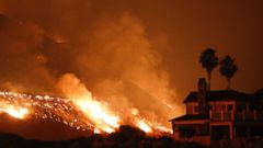
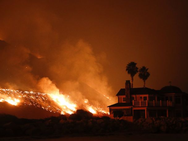

The weather in Southern California continues to wreak havoc on fire officials trying to stymie the growing flames.
On Tuesday, winds gusted to 80 mph in parts of Southern California producing a major Santa Ana wind event. This could be the worst Santa Ana wind event in December in Southern California since 2002.
Southern California is having one of the driest starts to its wet season on record. Wet season starts about Oct. 1.
There are red flag warnings and high wind warnings from Ventura to Los Angeles to San Diego and all the way to the Mexican border.
Gusty winds are in the forecast for Southern California Wednesday, but they won’t be as strong as they were yesterday. Some gusts near 30 mph are possible Wednesday.
Another major Santa Ana wind event is forecast for Thursday, when winds could gust as high as 70 mph in the mountains.
Cold air is moving into the Great Lakes and the Northeast on Wednesday morning, and as that happens heavy lake effect snow is currently falling.
It will be very cold in the eastern U.S. on Thursday morning, with wind chills below zero in the Midwest and in the teens and 20s in the Northeast.
Lake effect snow is ongoing this morning and we have winter storm warnings and lake effect snow warnings from Wisconsin to New York. There will also be gusty winds in part of New England near 40 mph.
Some areas near the Great Lakes — from Michigan to western New York — could see more than a foot of lake effect snow.
Free America Network Articles