
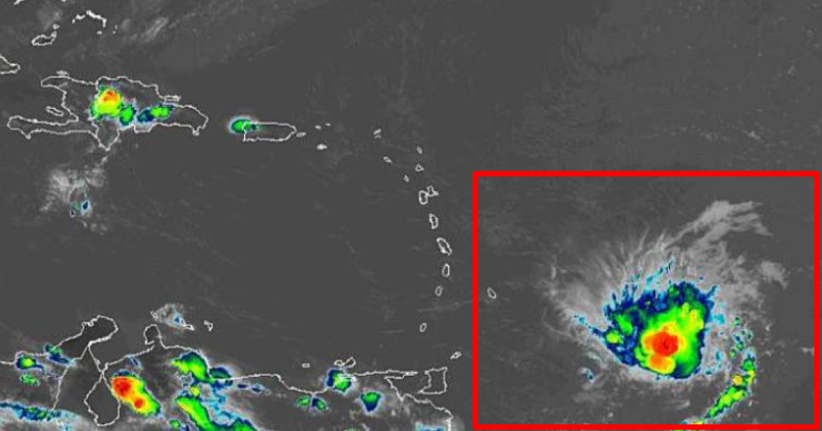
Forecasters say the fourth tropical storm of the Atlantic hurricane season has strengthened as it moves toward the Lesser Antilles. The U.S. National Hurricane Center (NHC) in Miami said Sunday that Tropical Storm Dorian could intensify to near hurricane strength over the eastern Caribbean Sea by Tuesday.
As of 2 a.m. Monday, Dorian’s center was located about 270 miles east-southeast of Barbados and 375 miles east-southeast of St. Lucia and was moving westward at 14 mph. Maximum sustained winds were 50 mph. Tropical-storm-force winds extended outward up to 45 miles from the center of the storm.
A tropical storm warning was in effect for Barbados, St. Lucia, St. Vincent and the Grenadines. A tropical storm watch was issued for Dominica, Martinique, Grenada and its dependencies.
Trending News
The NHC said Dorian is expected to produce 2 to 4 inches of rainfall across the Lesser Antilles, with isolated amounts as much as 6 inches.
Forecasters said Puerto Rico, the Virgin Islands and Hispaniola should monitor Dorian’s progress.
They said the center of Dorian is expected to be near the Windward Islands late Monday or early Tuesday and move into the eastern Caribbean Sea on Tuesday.
The National Weather Service Tampa Bay tweeted Sunday it’s “too early to speculate” if Dorian will impact Florida.
