
Timelapse satellite video taken from space shows the rapid expansion of the California wildfires, offering a harrowing look at how quickly the blazes exploded over the last two days amid powerful winds.
Footage published by the Cooperative Institute for Research in the Atmosphere shows an aerial view of the Palisades Fire breaking out Tuesday morning along the coast in Los Angeles County. With winds reaching at least 40 mph, the flames quickly spread and grew exponentially throughout the day, prompting thousands of evacuations.
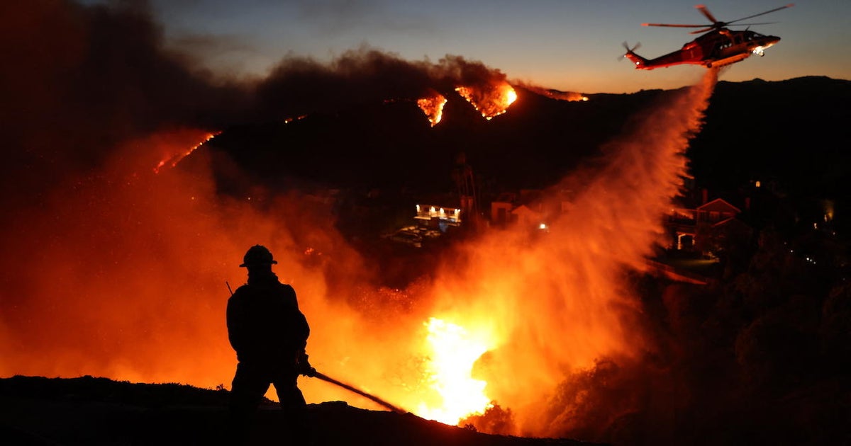
A second wildfire, the Eaton Fire, ignited Tuesday night in the hills above Altadena, a community in northern Los Angeles County. The fire has caused at least five deaths and a “number of significant injuries,” according to Los Angeles County Fire Department officials.
Another satellite timelapse posted overnight shows the fires continuing to spread.
“A dire situation is unfolding tonight as wildfires rage in Southern California,” the institute wrote in a social media post. “Communities continue to be significantly impacted by the Palisades and Eaton Fires.”
Both fires had scorched over 10,000 acres by Wednesday afternoon, according to the California Department of Forestry and Fire Protection.
