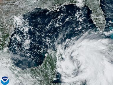

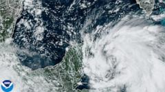

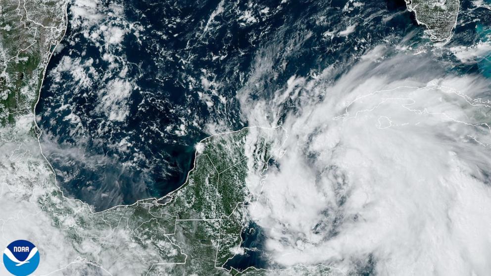
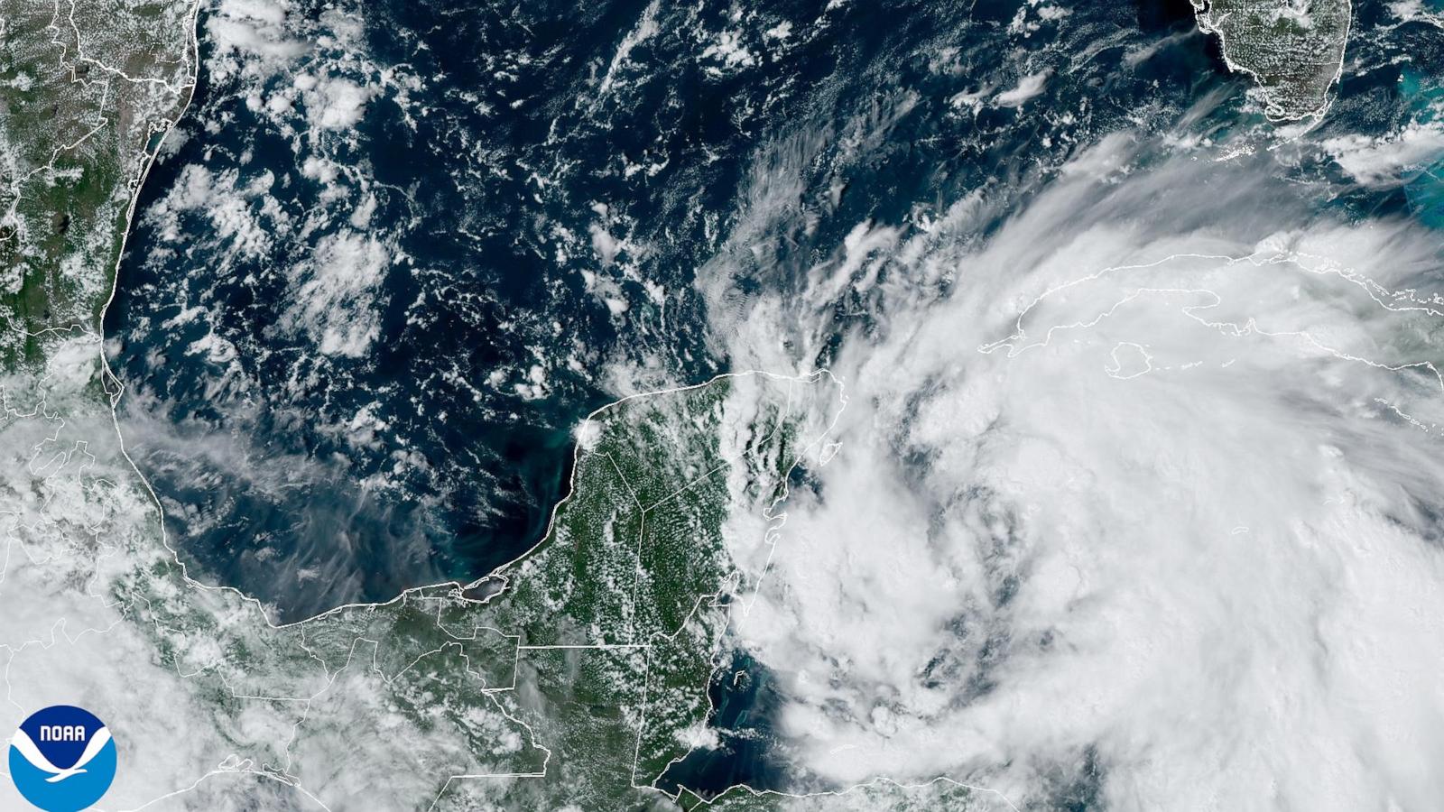
Helene is expected to strengthen to a hurricane on Wednesday as it enters the Gulf of Mexico and strengthen further to a major Category 3 hurricane by Thursday morning.
A hurricane watch is in effect in Florida from Tallahassee to Tampa, where hurricane conditions will be possible late Wednesday night through late Thursday night.
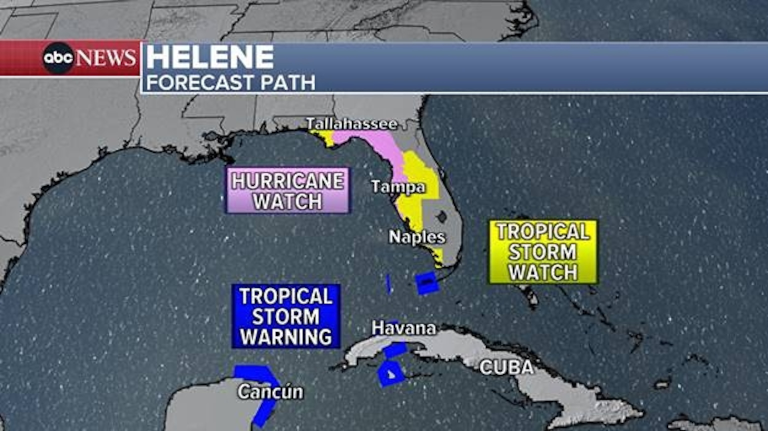
Wednesday night into Thursday morning, Helene’s outer bands will start to lash Florida’s Gulf Coast. The worst of the conditions will be throughout the day on Thursday.
Helene is forecast to make landfall Thursday night along Florida’s Big Bend region as a Category 3 hurricane. Winds could be up to 115 mph during landfall.
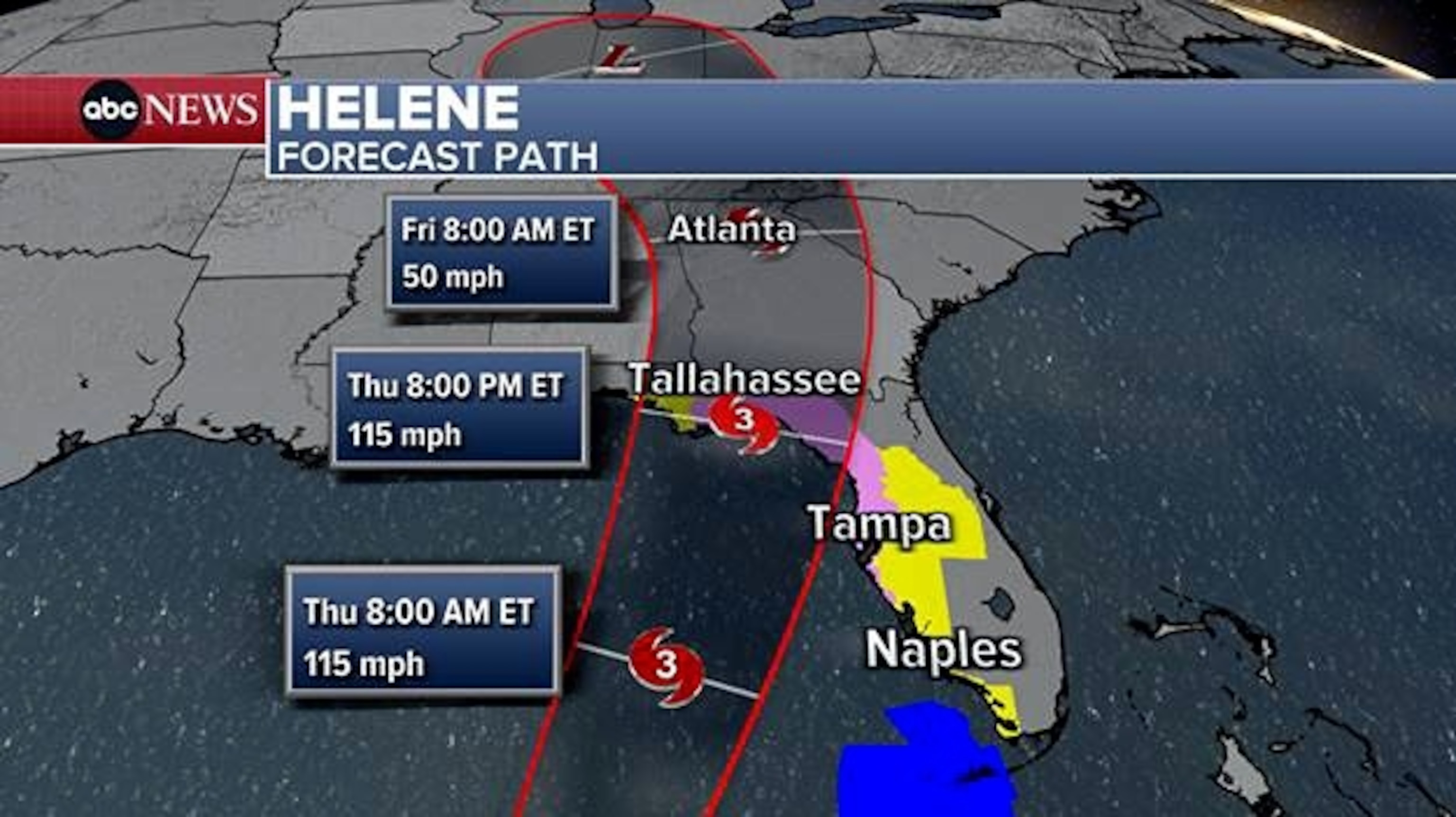
Helene is expected to be a large hurricane, which means impacts will extend significantly beyond the center, impacting most of Florida and much of the Southeast.
After landfall, Helene is forecast to quickly move north into Georgia, bringing heavy rain and strong winds to the South.
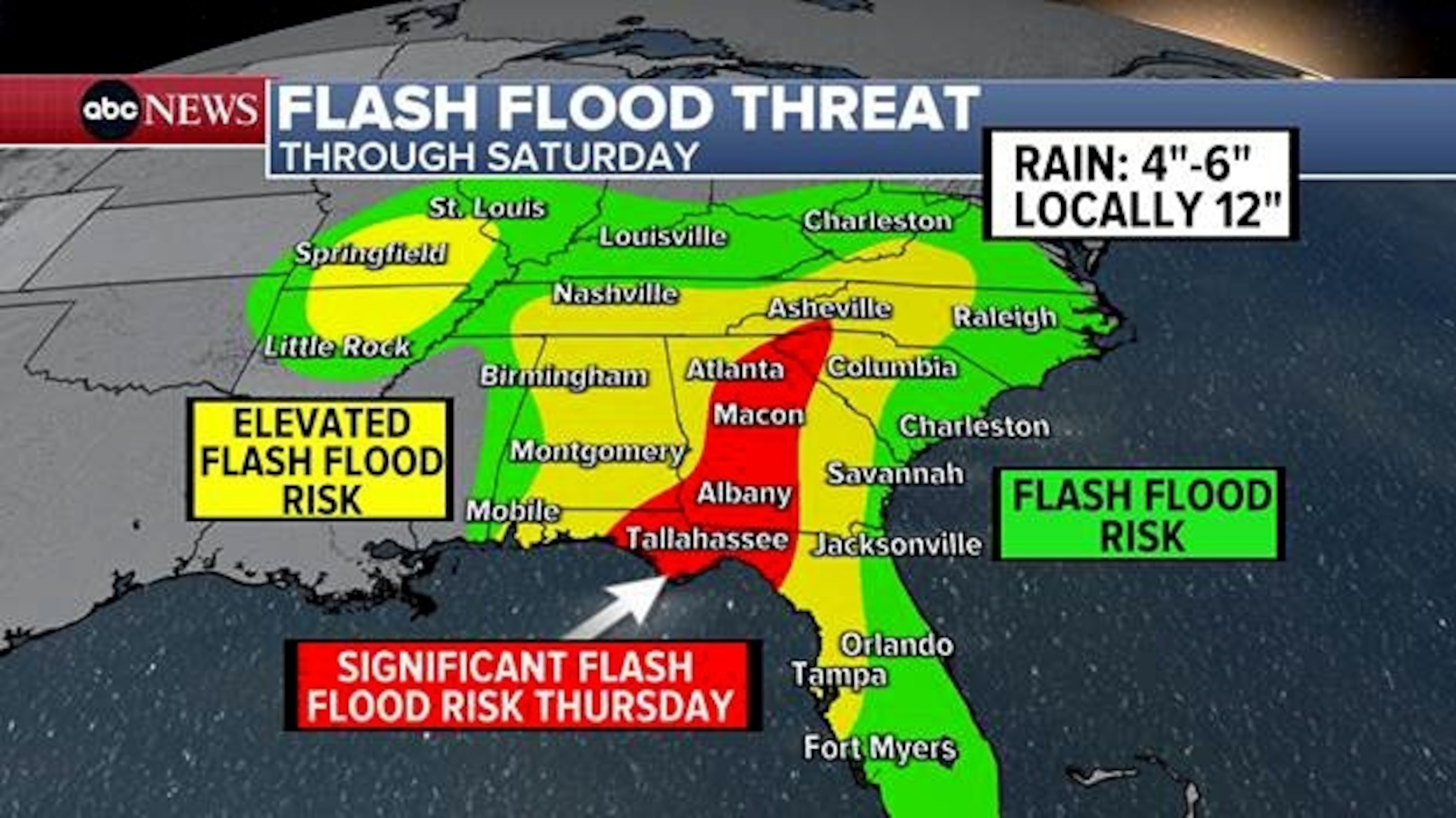
A significant flash flood risk stretches from the Florida Panhandle to South Carolina — including Tallahassee to Atlanta — Thursday night into early Friday.
-ABC News’ Melissa Griffin