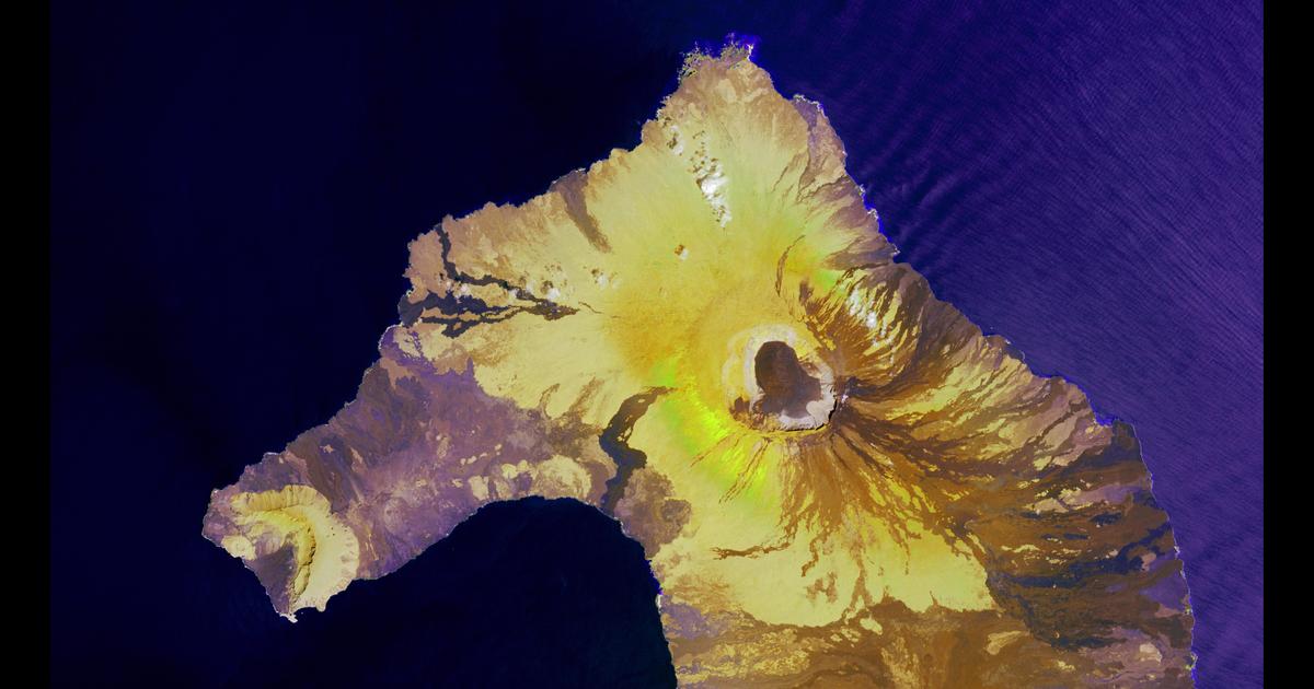
Satellite images from the U.S. Geological Survey combine science and art to showcase the splendor and wonder of our planet. Scroll through the images to see more from the “Earth as Art” collection.
In shallow waters surrounding the Tyuleniy Archipelago in the Caspian Sea, chunks of ice were the artists. The 3-meter-deep water makes the dark green vegetation on the sea bottom visible. The lines scratched in that vegetation were caused by ice chunks, pushed upward and downward by wind and currents, scouring the sea floor.
Image acquired April 6, 2016, by the Landsat 8 satellite.
Credit: U.S. Geological Survey/NASA