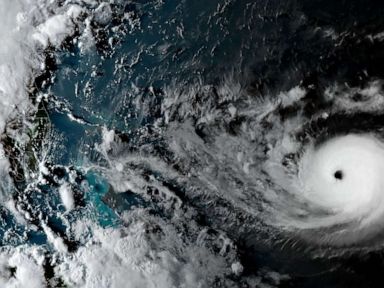


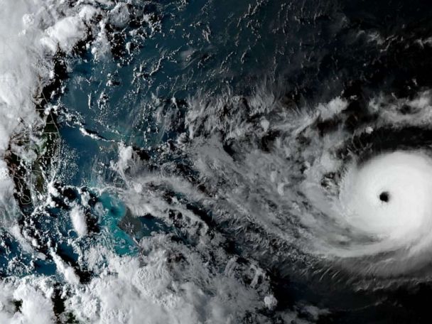
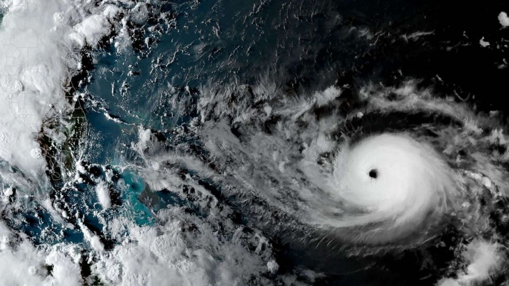

Hurricane Dorian, a Category 4 with 145 mph winds as of early Saturday, picked up strength early Saturday and is now expected to slam into the Carolinas next week.
Earlier projections had it hitting Florida head on as early as Monday. Areas all along the coast still are bracing for storm surge, heavy rain and dangerous, gusty winds.
Florida Gov. Ron DeSantis will hold a news conference Saturday at 9 a.m. local time.
The storm is now expected to make landfall Wednesday evening.
Other forecasts, however, have the storm not making landfall at all in the U.S.
A high-pressure system in the Atlantic is helping push the storm north.
If Dorian remains farther off shore, parts of Florida may see only up to 10 inches of rain, significantly lower than earlier forecasts. But that means South Carolina could see quite a bit more.