

What happens in the Pacific Ocean with the phenomenon La Niña will likely cause temperature and precipitation changes across the country this winter, according to the National Oceanic and Atmospheric Administration.
The weak La Niña developing could be the biggest player in the 2017-2018 winter forecast, said Mike Halpert, deputy director of the Climate Prediction Center at NOAA, which released the U.S. Winter Outlook today.
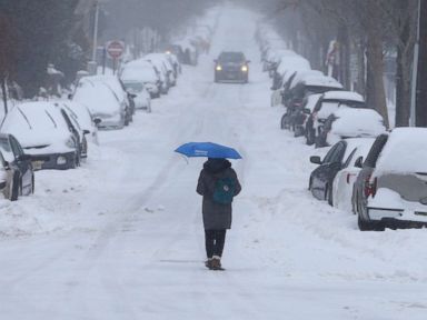
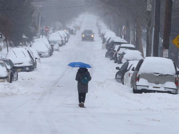
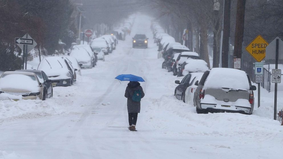
The phenomenon could cause colder and snowier conditions for the north-central U.S. and warmer and drier than normal conditions for the southern U.S, from California to Florida.
The areas around the Great Lakes could also see an increase of Lake Effect snow.
La Niña is the opposite of El Niño; together, they are called the El Niño-Southern Oscillation, or ENSO, and often cause significant differences from average ocean temperatures, winds, surface pressure, and rainfall across parts of the tropical Pacific, according to NOAA.
La Niña is the cool phase of the equatorial Pacific Ocean, as opposed to the warm phase El Niño. The pattern usually swings back and forth about every 3 to 7 years, according to NOAA.
La Niña winters usually bring milder than normal conditions and less snow for the coastal Mid-Atlantic and the Northeast, from Washington, D.C., to Boston. The storm track for the Northeast usually remains more inland with La Niña, bringing mostly rain to the very populated I-95 corridor and snow for the eastern Great Lakes and Appalachian Mountains, Halpert added.
For the Pacific Northwest and the northern Rockies, cooler and wetter than normal conditions are forecast, which means more strong storms with damaging winds and flash flooding for Seattle and Portland are likely.
More than normal snow is forecast for the ski resorts in the northern Rockies from Big Sky Resort in Montana to Steamboat Springs in Colorado.
After a record breaking 2016-17 snow season in the Sierra Nevada Range Mountains, this snow season looks closer to normal. Southern California could be slightly milder and drier than normal.
Though the outlook seems to indicate above-average precipitation this winter, drought is likely to persist in parts of the northern Plains. Some improvement in drought conditions is expected further West.
In scattered areas of the South, particularly in areas that did not receive excess rainfall associated with the active 2017 hurricane season, drought could develop.
ABC News’ Bianca Seidman contributed to this report.

