

The Bighorn Fire in the Coronado National Forest grew to 11,500 acres in size.
5 min read
The Southeast U.S. will remain unsettled for the next several days due to back-to-back interacting stalled weather systems.
A stationary front is currently sitting over Florida stretching to the Carolinas and is not forecasted to move much over the next 36 hours.
Along the stationary front, thunderstorms, at times with very heavy rain, are developing.
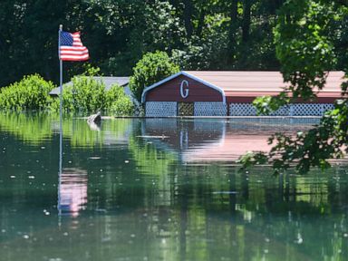
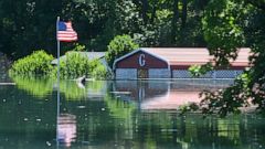
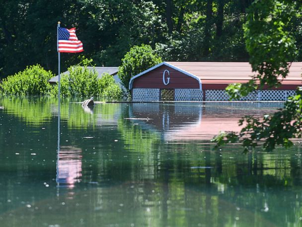
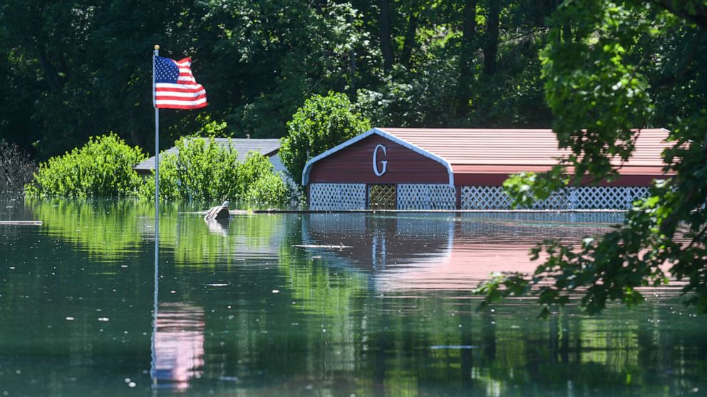
On Saturday in Florida, 4.7 inches of rain fell near Naples causing some flash flooding. Additionally, a waterspout was spotted off the coast of Clearwater Beach.
More storms will fire up along this stationary front Sunday in the Southeast U.S. with heavy rain locally and perhaps some gusty winds occasionally.
Meanwhile a new low pressure system will dip down from the North and move through the Ohio Valley and Appalachians causing the development of some thunderstorms and rain from parts of West Virginia down through western North Carolina.
On Monday, going through the middle of the week, the upper level low associated with this new low pressure system will interact with the stalled stationary front. The upper level low is likely to become cut off from the jet stream in the southeast U.S. and bring regular rounds of showers and thunderstorms to the area for days.
Forecast models are showing numerous rounds of rain and thunderstorms Tuesday, Wednesday and Thursday for much of the southeast U.S., especially in the Carolinas and Virginia.
By the end up of the week the cut off low looks to become less organized and begin to flow with the jet stream again allowing for a pattern shift and the end of the wetter pattern for the area.
The result of this is locally a wide swatch of 2 to 4 inches of rain for parts of the Appalachians and the Carolinas through the next few days. However, forecast models are showing some areas may receive more than 6 inches of rain through the middle of the week, especially in eastern North Carolina, including and predominantly the Outer Banks. This rainfall could produce some flash flooding in the region in the coming days.
Meanwhile, in the western U.S. there is still critical fire weather conditions today for parts of the Four Corners and the central High Plains. Red Flag Warnings and Fire Weather Watches are currently posted for parts of the region for both the threat today and the for the next threat coming on Tuesday.
In Arizona, the Bighorn Fire in the Coronado National Forest on Saturday grew to 11,500 acres and is 11% contained. There are still some evacuations in place because of the fire.
In the four corners region, relative humidity values will likely fall as low as 5% on Sunday, with winds locally higher than 20 mph in spots.
A couple of dry thunderstorms containing lightning will be possible with a frontal system moving through the region.
In the high plains from Texas to Kansas, relative humidity may fall as low as 10% with wind gusts possibly up to 25 mph.
Additionally, some isolated dry thunderstorms could develop in the region and lightning and outflow winds could briefly enhance the risk for fire development today.
Unfortunately, another round of possibly dangerous fire weather conditions looks to arrive in parts of Nevada and Utah on Tuesday with some of those new fire weather watches already being posted.
