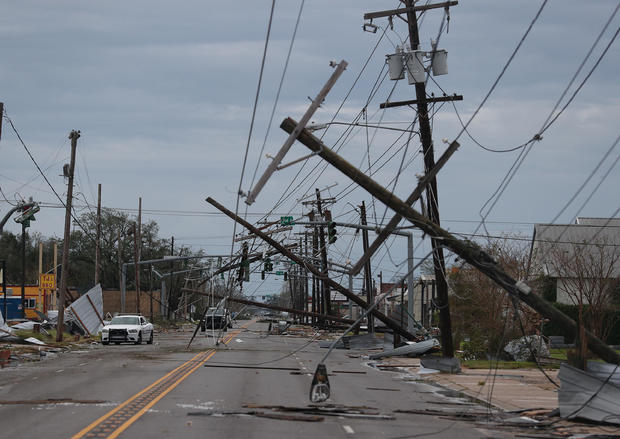
“Extremely dangerous” Hurricane Laura made landfall overnight near Cameron, Louisiana, bringing “catastrophic storm surge, extreme winds and flash flooding” to portions of the state, the National Hurricane Center said early Thursday. The storm had intensified rapidly into a Category 4 hurricane before slamming into the Gulf Coast near the Louisiana-Texas border.
The storm is now moving north, bringing damaging winds and flooding rainfall to central and northern Louisiana, according to forecasters.
As of mid-Thursday morning, the storm was weakening, with winds near 75 mph. The hurricane is expected to become a tropical storm within the next few hours before becoming a tropical depression, according to the hurricane center.
Forecasters said, however, that high water levels are persisting along the Gulf Coast. Tornadoes are possible through Thursday night in parts of Louisiana, Arkansas and Mississippi.