

It’s still spring, making unsettled and cold weather possible.
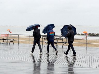
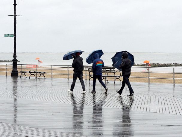
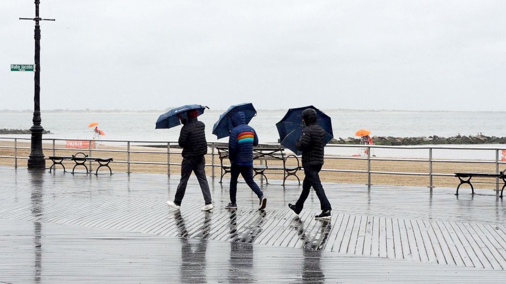
Periods of heavy rain and well below-average temperatures continue to grip parts of the Northeast this Memorial Day weekend.
Not only is it rainy and raw, but it’s quite cold — by late May standards. Typically, most of the Northeast cities are experiencing weather in the 70s this time of year.
As for why temperatures are so low in the Northeast – there is a stubborn upper level low over southeast Canada that is pulling down cooler air and keeping the air rather unsettled.
While the current cold air in the region in notable, it is still spring, making unsettled and cold weather possible, although it is rather late in the season for these cold temperatures.
At least 2.47 inches of rain have been reported in New Rochelle, New York, just outside of New York City. Also just outside of New York City, Danbury, Connecticut, has gotten at least 2.36 inches of rain, and Oakland, New Jersey, has reported 2.25 inches of rain.
Parts of Rhode Island and Massachusetts have gotten just a little bit more, with over 2.5 inches of rain.
Unfortunately it’s quite gusty in some spots too, with parts of Cape Cod seeing wind gusts over 50 mph on Saturday.
Several record-low temperatures have been broken in parts of the region on Saturday. New York City tied its coldest high temperature for the date, only reaching 51 degrees. This is a full 24 degrees below average for the date. Newark, New Jersey, and Bridgeport, Connecticut, only reached 52 degrees on Saturday, which was cool enough for its coldest high temperature record for the date. Philadelphia also broke its coldest record-high temperature for the date, only reaching 54 degrees on Saturday.
The good news: Sunday will be the last day of pretty dreary weather in the Northeast.
However, a few more batches of heavy rain will be moving into Northeast today, and some isolated flooding will be possible.
But by Monday, most of the rain will push north and east, and drier weather will move in behind. The sun will gradually poke through the clouds on Monday and nicer weather will move in. Memorial Day is likely salvageable for outdoor activities.
Until then, much of the Midwest and Northeast will deal with chilly weather. Wind chills this morning across much of the Midwest and northeast are in the 40s. Parts of the Northeast will continue to deal with temperatures up to 25 degrees below average. More record coldest high temperatures will be possible today in that region. There will finally be a temperature recovery beginning tomorrow.
In the West, the first big heat wave of the season is building. Temperatures Sunday will reach near or above 100 degrees across parts of California and into the desert Southwest.
There are excessive heat warnings and heat advisories issued for parts of Oregon and California for the next few days.
Records will be possible on Monday in parts of the western U.S. On Monday, Redding, California’s, record high may reach 108 degrees; the forecast calls for 107 degrees. Sacramento, California, may hit 105 degrees and the forecast is for 106 degrees.
Then on Tuesday and Wednesday, the heat will expand well into the Pacific Northwest. Portland will be in the 90s by Tuesday — quite hot for the region. Records will be possible from California to Montana on Wednesday.