

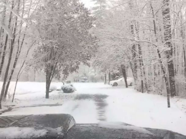
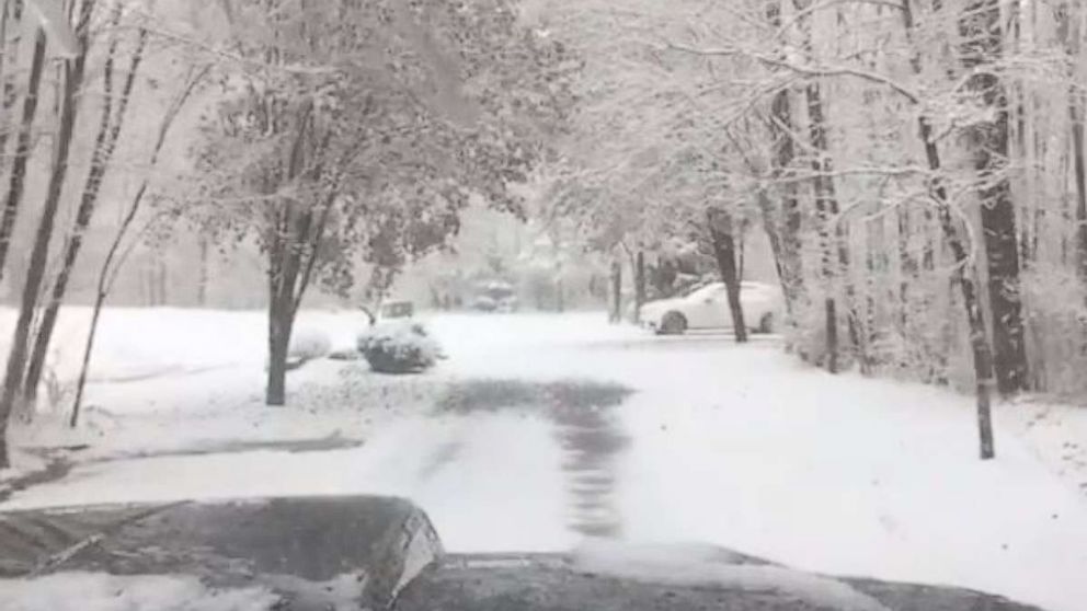
After a mix of rain, snow and ice on Saturday, the Midwest and Northeast are looking forward to a white Christmas. Major cities in the Northwest will also potentially see snow on the ground Christmas morning.
Because of the two storms, more than a two dozen states have winter weather alerts from Oregon to Massachusetts.
The first storm already hit the Rockies very hard Saturday, with major delays and interstate closures. In Colorado, I-70 west of Denver had to be shut down in both directions due to whiteout conditions and visibility of only 5 feet. Blizzard conditions were also reported in Wyoming yesterday.
The storm system is on the move Sunday and will bring snow from St. Louis to Chicago by mid- to late-morning.
If you are attending midnight mass, snow will be moving into the Northeast — from Pennsylvania to New York and into southern New England — and roads will be dangerous and snow-covered. Major cities such as Washington, D.C., Philadelphia and New York City will see cold rain and wet roads.
On Christmas morning, the storm system redevelops off the Northeast coast and will begin to change any rain in major cities to snow from New York City to Boston. There will not be much snow in the five boroughs of New York City, but just north into the Hudson Valley and into Connecticut several inches of snow could accumulate. The city of Boston will also not see much snow accumulation, but just northwest of the city several inches could pile up.
Snowfall totals from the Midwest into the Northeast for Sunday and Monday will be widespread.
Another storm will be moving into the Northwest on Sunday morning and into the afternoon, bringing the possibility of a rare white Christmas for usually mild cities like Seattle and Portland. A winter weather advisory has been issued for the city of Portland, Oregon, due to the ice and snow forecast.
Portland could see up to 2 inches of snow and a dusting could fall in Seattle.
In addition to all the snow, bitter cold will move into the lower 48 states starting Christmas Day and will last through most of the following week.
Wind chills on Christmas morning for the central U.S. and some areas in the northern Great Plains could approach minus-40 degrees. A wind chill watch has been issued because of these extreme conditions. The National Weather Service is warning that this type of cold air could bring frostbite to your skin in as little as 30 minutes if you have exposed skin.
The day after Christmas this brutal cold will move into the Northeast with wind chills dipping below zero in New England and single digits and teens forecast for the I-95 corridor from Washington, D.C. to Boston.
Free America Network Articles
