
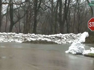


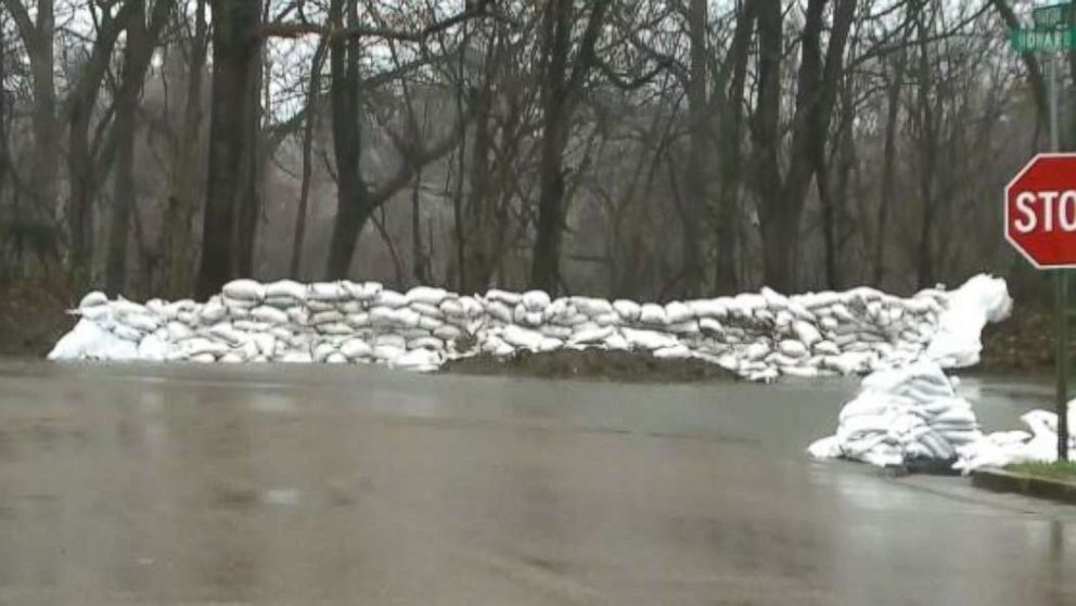

The large storm system responsible for flooding and severe weather from Texas to Tennessee yesterday is moving east Thursday morning.
As the storm moves east, 25 states have flood, snow and high wind alerts from Texas to Maine.
The storm system is bringing heavy rain Thursday morning from Texas to Chicago and into parts of North Carolina.
Heavy rain will change Thursday into snow from Chicago to Detroit with some accumulation possible in the cities. The heavy rain will arrive into the Mid-Atlantic and eastern Great Lakes by dinner time or maybe even a little earlier.
As that happens, a coastal low will form off the Mid-Atlantic coast.
Very heavy rain is expected in the Northeast from Thursday night into Friday morning with urban flooding possible from Philadelphia to New York City and eventually into Boston by the afternoon.
As the cold air wraps around the storms, heavy rain will change to heavy snow Thursday night in western New York first and then down to the coast by Friday afternoon. Snow will be possible in Boston, New York City and even Philadelphia.
In addition to the rain and snow, strong winds will be gusting from 40 to 60 mph. The highest gusts will be along the coast.
The storm will begin to move out of the area Friday night into Saturday morning, but gusty winds will continue into Saturday.
The heaviest snow will fall in western New York and northern Pennsylvania and into the mountains of western New England, where locally more than a foot of snow is possible.
The heaviest rain will fall from New York City to Boston and into southern New England, where locally 4 inches of rain is possible.
Six states are bracing for the strongest storm of the year for the West — and specifically for California.
The rain is already falling Thursday morning in the San Francisco Bay area and most of central and northern California.
The rain will reach Los Angeles and Southern California sometime Thursday evening with heavy rain at times throughout the night.
There is a flash flood watch for Los Angeles and Santa Barbara counties for mudslides and debris flow. Recommended evacuations are in place in Montecito, where mudslides caused widespread devastation in January.
The heaviest snow will fall in the Sierra Nevada Mountains, where locally 6 1/2 feet of snow is possible.
The heaviest rain will fall in northern and central California, where locally 2 to 5 inches of rain is possible. In Southern California, around Los Angeles, up to 1 inch of rain is expected in the next 36 to 48 hours.
Free America Network Articles