
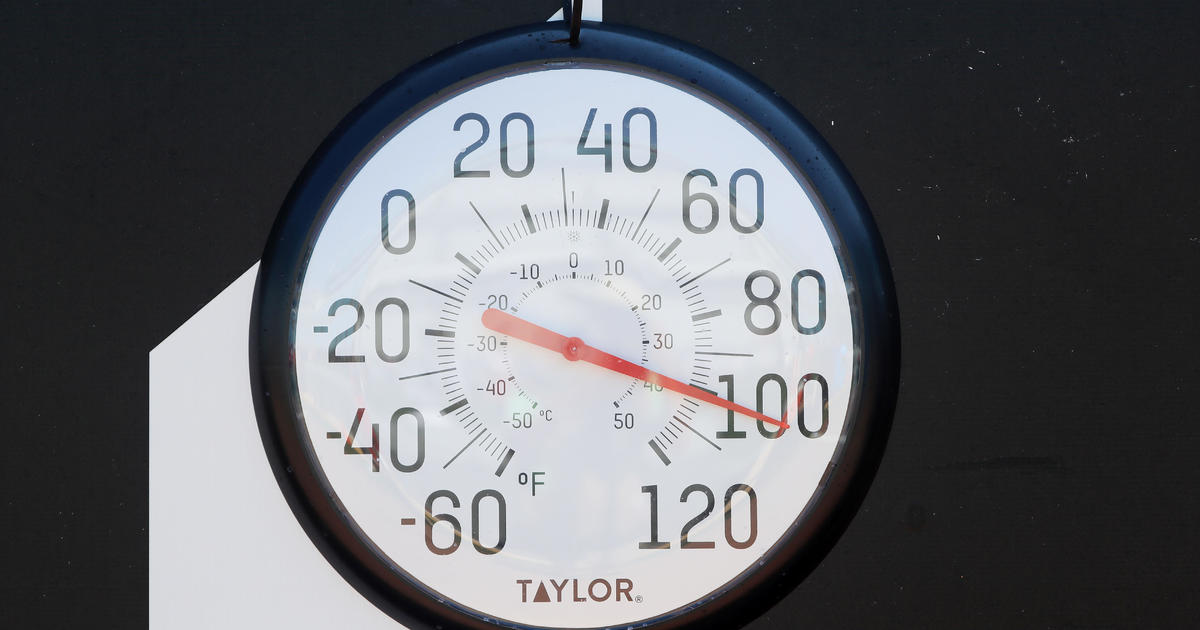
An oppressive summer heat wave with “feels like” temperatures over 100 degrees is about to envelope much of the eastern half of the nation. About two dozen daily maximum heat records are in jeopardy, especially across the Northeast.
The worst of the heat will be felt across the Ohio Valley and Northeast on Sunday and into Monday, where daytime heat records may fall in Cleveland, Buffalo, Washington D.C. and Philadelphia, just to name a few.
Around 75 million people are covered by heat advisories or excessive heat watches and warnings — including Philadelphia on Sunday and Monday, where the National Weather Service warned that “Extreme heat and humidity will significantly increase the potential for heat related illnesses, particularly for those working or participating in outdoor activities.”
For about a week, scorching heat has been trapped across Texas and the Deep Southwest, where many temperatures at the start of the heat wave last week topped 110 degrees. But the pattern is now changing, as the lid is being pulled off the heat bubble and sweltering air is surging north and east.
Over the next week about 280 million people — 87 % of the continental U.S. population — will experience high temperatures at or above 90 degrees. Because of increasing humidity, heat index numbers will top 100 for most — and for some, it will last for several days.
The worst of the heat on Saturday will be found from the Plain States, Midwest, Great Lakes and Ohio Valley. The Plains will roast with highs soaring to near 105 in cities like Wichita, Kansas. With humidity factored in, Minneapolis, Omaha, Des Moines, Kansas City, St Louis and even Chicago will feel like 100 to 110 degrees.
When agriculture, like corn, adds humidity to the air — a concept called “corn sweat” — it can drastically alter localized “feels like” temperatures. Areas of the Corn Belt and along the Missouri River — where extra evaporation of moisture takes place, saturating the air — may even experience heat index numbers near 115.
On Sunday, the core of the heat will move to the east, into the Ohio Valley, Northeast and Middle Atlantic states. Once again, highs will top out well into the 90s in many areas, with “feels like” temperatures reaching 105 to 110 degrees.
Cities like Cleveland, Pittsburgh, Syracuse, Albany, New York City, Philadelphia and even just outside Boston are forecast to near or exceed 95 degrees for actual highs.
The hottest air may be found at Washington’s Dulles Airport, where the mercury is expected to top out near 100 degrees on Sunday. The current record is 98 degrees, set back in 1977. Reagan National Airport just fell one day short of an all-time record streak of 21 days in a row with highs 90 degrees or higher.
But on Friday, Washington D.C. re-started the 90-degree streak — which is forecast to last, at the very least, another week or more. That’s because a cold front that will help to cool down cities like Chicago and Buffalo will never reach most of the middle Atlantic.
On Monday, record highs near 100 are forecast for Washington D.C. and Philadelphia. The humidity will make it feel even hotter, with heat index numbers topping out at 110.
For those looking for a break from the summer heat, the National Weather Service is not offering much hope. The 8 to 14-day forecast calls for the likelihood of above-normal temperatures for more than two-thirds of the nation.
